ACCESSIBILITY NURTURED
WAYFINDING CAMPAIGN
CHALLENGE
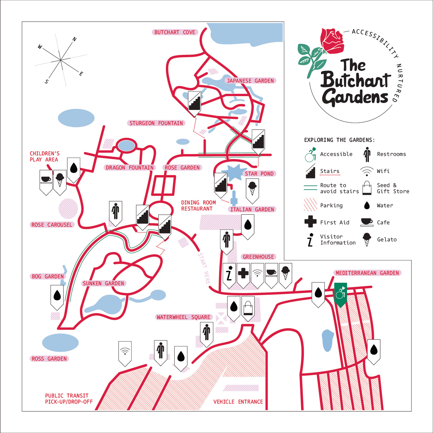
The Butchart Gardens, a National Historic Site of Canada that encompasses 55 acres of gardens, is embarking on an accessibility wayfinding campaign that will highlight and prioritize diversity and inclusion among those in need of accessibility services. This campaign will include an addendum logo, map icons, a transportation map, and a campus map that will provide clear navigation for those with temporary or permanent disabilities.
SOLUTION
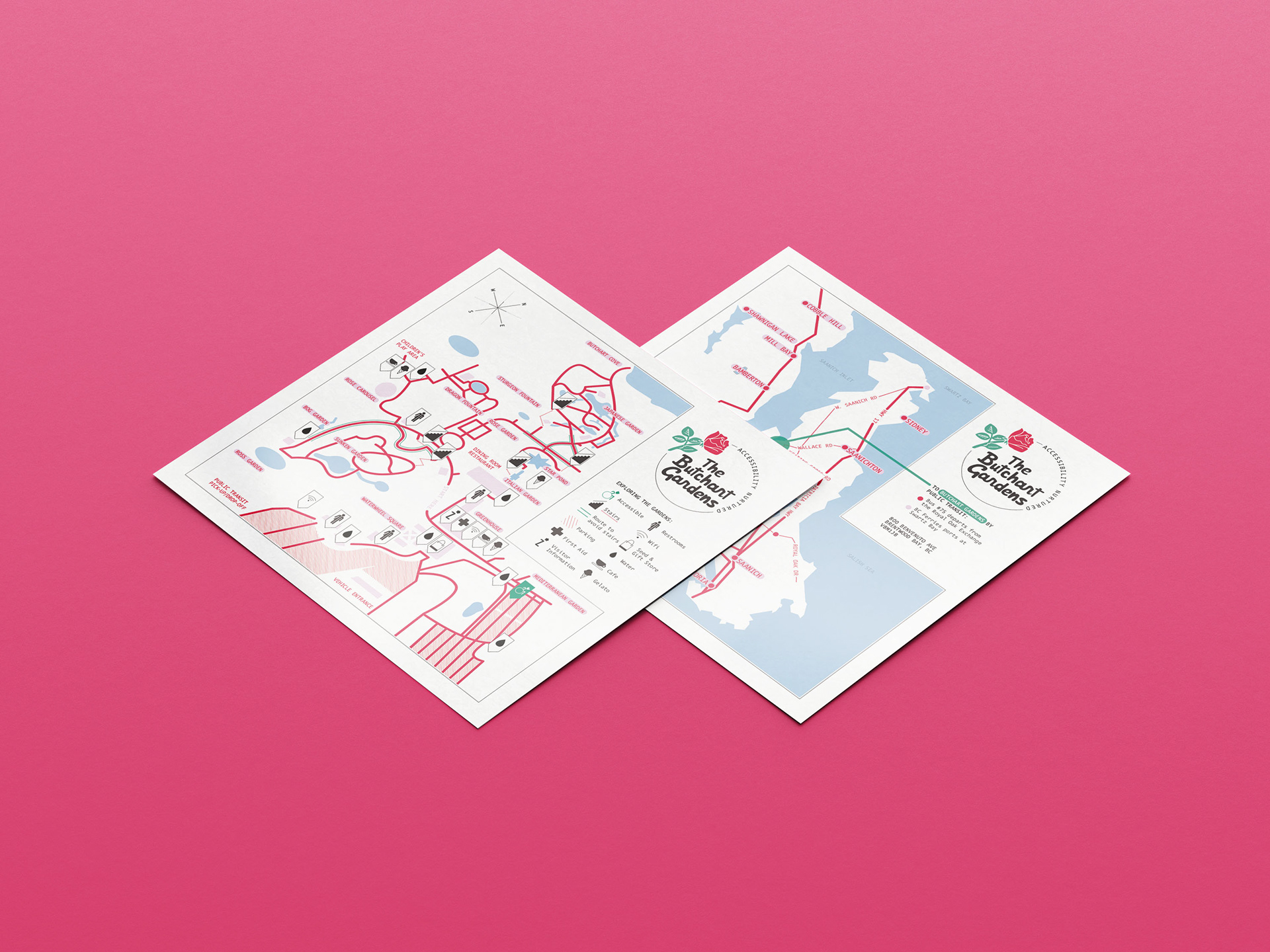
The transportation map allows navigation from the general area of Victoria, BC to The Butchart Gardens by signifying the main highways and streets that lead to the grounds. The Butchart Gardens campus map navigates the user throughout the gardens by mapping the pathways, resources, and activity locations throughout the gardens. Unique to the campus map, striped areas represent the garden’s parking, with the accessible parking specifically called out by the accessible icon, a wheelchair illustration with a tulip head to continue the garden branding. A route to avoid stairs but still enjoy the entirety of the park is delineated by green lines.
CLIENT Student Project
SKILLS Wayfinding, lllustration, Adobe Illustrator, Information Design